Is digitalization just for large contractors, or can smaller teams gain just as much?

Is digitalization just for large contractors, or can smaller teams gain just as much?

Competition in construction is fierce, but smaller contractors can level the playing field by embracing technology. From saving costs on outsourced surveying, to streamlined office-to-field collaboration, to improved project management, to offering transparency to asset owners, the benefits are numerous.

Fortunately, Infrakit offers solutions designed to empower contractors big AND small.

There is no love lost for the titans of construction out there (we work with lots of you too), but here are a few ways the smaller ones are punching above their weight class using Infrakit!

Tech Consolidation/Standardization

Where larger operators and projects may require a lot of tech tools to satisfy diverse stakeholders, smaller contractors can often be more nimble and use fewer tools across more operations.

It’s much easier to run with a “single source of truth” for data management when you can deploy the solutions universally and train your team in a matter of hours.

Using Infrakit Survey, you can also significantly reduce outsourced surveying costs (both direct and indirect) by collecting survey points for QA and surface checks directly into the platform.

Improved Communication and Easy Data Sharing with all Stakeholders:

Whether team members are on-site or working remotely, cloud-based platforms like Infrakit ensure everyone is on the same page.

Map-based document/file sharing, real-time updates, and communication channels within the cloud platform provides situational awareness, enhances collaboration and reduces the likelihood of misunderstandings.

Empowered Site Personnel:

While not unique to construction, the larger the organization, typically, the larger the bureaucracy.

Smaller contractors get to cut right through that red tape and make faster decisions which boost productivity.

Having “answers in your pocket” widely available gives an increased level of independence for site workers

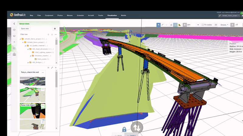
With “BIM in the Field” and the ability to save custom views, it makes it much easier to share only the relevant data with the right people at the right time

Dispute Resolution Insurance:

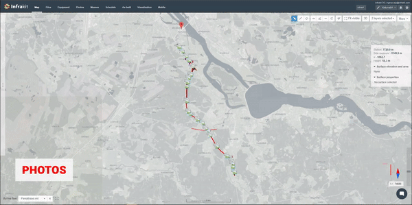
With easy-to-do Quality Assurance workflows and using time stamped site photos, Infrakit allows for complete transparency which helps to safeguard the contractor’s interests in case there is a legal dispute.

Infrakit isn’t just a tool – it’s a strategic advantage. With simple workflows, cost-effective surveying, and enhanced data management, Infrakit proves indispensable for contractors big AND small aiming to thrive in the competitive construction landscape.

See also how Infrakit can assist with winning construction tenders

John Frost
February, 2024

Book a Demo

Discover how Infrakit connects your entire infra project operations and drives value to every part of your business.

Co2 tracking

Infrastructure Construction Industry Competition is changing for good – Tracking CO2 will soon divide the competition and here is what you need to know about it

Last few years in our infrastructure construction industry it has been merely impossible to avoid hearing about CO2 and how our industry needs to track and reduce it, to stop the looming danger of climate change. Certainly, the tone of voice in the talks varies, for some, it might provide new opportunities whereas for some it’s purely a pain and a risk for business.


Direction of change reveals itself


Stepping up from the day-to-day point-of-view and observing the river’s current from above, it becomes inevitably clear, that the infrastructure construction will change for good. And as always, change tends to be a divider, where one embracing it will benefit, and one denying it will become irrelevant.

In Nordic countries, this future has already started showing its face, where construction companies able to trace and showcase their project’s CO2 are winning at a drastically increasing speed and historically, what has happened in the Nordics, has been the way the whole industry operates globally soon after.


The topic of CO2 can cause different opinions, but there is no denying its importance is growing


Tracking CO2 will divide the competition


The imperative to track CO2 brings the pain of implementing such complex new workflows into construction operations. Cure for the pain for forerunners has seemingly been teaming up with the right partners, and that seems to become the crossroad for the competition soon – embracing CO2 tracking with partners or becoming irrelevant.

Competitors in the Nordics have won a lot by being able to track their project’s CO2 emissions with efficient systems


Jere Syrjälä
January, 2024

Book a Demo

Discover how Infrakit connects your entire infra project operations and drives value to every part of your business.

Mastering infrastructure tenders

Mastering Infrastructure Tenders: Proven Strategies and Smarter Tools for Success

Winning construction tenders for infrastructure projects requires a strategic combination of expertise and effective communication. Tailoring your approach to each project is essential, but three key considerations consistently enhance your chances of success:

Thorough Understanding of Project Requirements:


Innovative and Sustainable Solutions:


Effective Communication and Relationship Building:


Our amazing customers have streamlined their bidding process using our solutions by leveraging our cloud platform as a shared hub for the tender team, facilitating faster collaboration and communication (both internally and with external stakeholders).

With the ability to have PDF documents, DXF/DWG and other design sources, orthophotos, and other base maps, you can work from a common source of truth all on a shared map.


Tools, like Infrakit FIELD (mobile app), and Infrakit OFFICE combine to offer simple workflows to capture and tag photos for undocumented risks during site trips and help tender teams, who generally lack easy access to BIM tools, to visualize 3D elements in the office or the field.

Users can also capture dronemaps for work phase planning, taking advantage of different seasons for comprehensive ground condition assessments.

Book time with our experts to discover how these solutions can be leveraged for improved efficiency and success in winning your next construction tender!

John Frost
January 12th, 2024