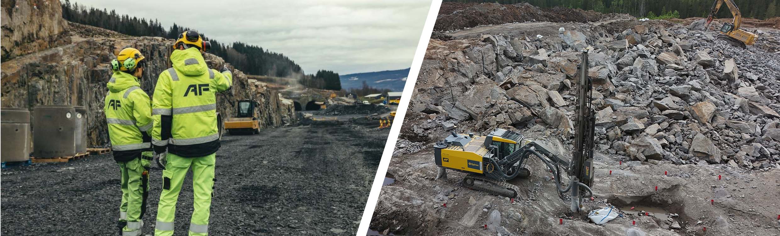
Release 3.9.6 is one of the most impactful updates we’ve shipped in years. It focuses on the people who use Infrakit every day — the surveyors, site managers, and office engineers who need reliable information fast.
This release dramatically boosts accuracy, adds long-requested capabilities, and reduces the need for external tools. It’s all about making the best civil project map even more intuitive, more powerful, and more useful as a central place for daily decision-making.
Volume calculations — now 10× better and all in one place
Volume calculations went through a complete overhaul. Accuracy has jumped to industry-level performance, with deviations now around 1% or lower compared to other tools. But the real value comes from the new ways you can use it.

A drone-captured point cloud overlaid with the subgrade LandXML model, highlighting cut and fill volumes needed across the section.
Model-to-model volumes — compare any two design surfaces
You can now compare two design models directly — for example, subgrade vs. top grade — to understand how much material sits between layers.
Why it matters:
- Plan truckloads and equipment needs more reliably
- Make fast decisions on resourcing and schedules
- Have a calculation tool for everyone in the project
“This feature alone removes a huge amount of manual work. Our users have asked for this — and now it’s here,” says Jere Syrjälä, our Product Manager.
DEM-to-DEM (drone-to-drone) — track actual progress week by week
Upload two drone elevation models from different dates and instantly see how much progress was made between flights.
Why it matters:
- Site managers can monitor production speed
- Detect delays early
- Keep supervisors updated with accurate, visual data
- Do everything directly inside Infrakit — no switching tools
Value in action:
Project teams can leverage weekly drone flights, compare last week’s and this week’s model, and instantly identify whether the project is ahead, on schedule, or falling behind — all from the same platform where design files and documentation already live.
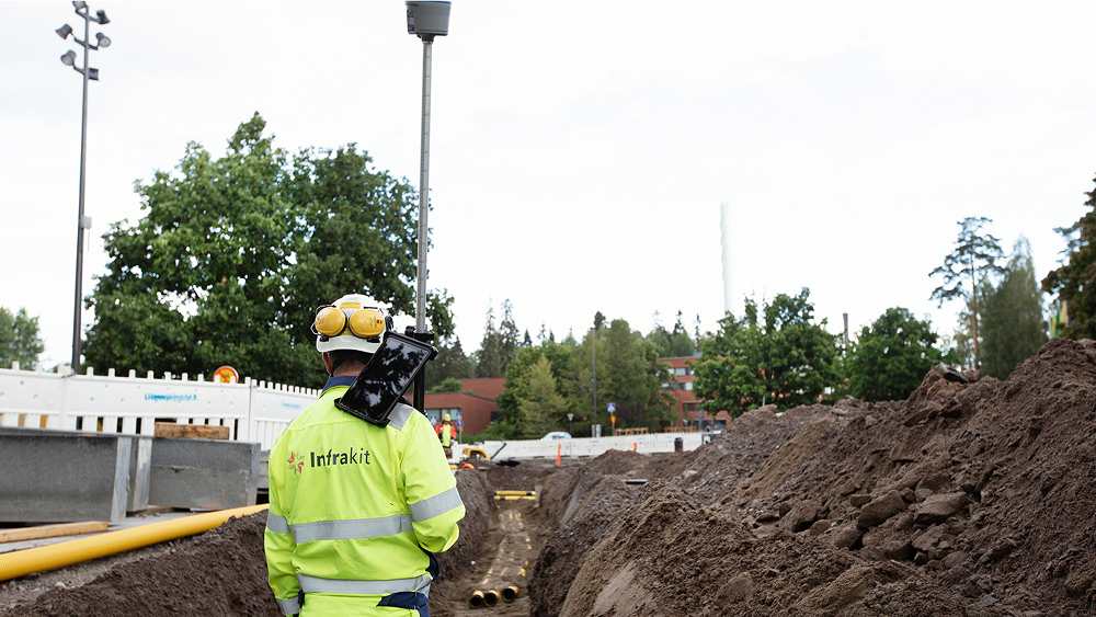
Cross-sections now show point clouds — see reality and design in one view
Cross-sections were already widely used for QA and coordination. But now they become dramatically more powerful with point cloud support.

What’s new:
- View point cloud data directly in the cross-section
- Compare the exact on-site reality to the design model
- Check levels, volumes, and deviations instantly
- Take corrective action immediately instead of discovering issues later
This brings quality assurance to the moment when it matters most — while teams are still building.
Value in action:
Instead of waiting for an as-built report at the end of a phase, site teams can stand on the roadbed, open a cross-section on their phone, and see exactly how much masses are missing or where over-excavation occurred.
This reduces mistakes early and helps deliver consistent quality throughout the build — not just at documentation time.
Note: This feature will not be provided by default and we are testing it as a BETA tool – if you are interested in trying it out, please reach out to us!
Crystal clear large-area IFCs
Massive IFC models, like long corridors, have become everyday use especially in the Nordic projects. Infrakit team has built support for these novel industry models and now they load sharply and smoothly — no workarounds needed.
Why it matters:
- No more converting IFCs into alternative file types
- No more splitting files into pieces
- Designers’ original data stays intact
- Huge time savings in preparing files for site
- Clear, accurate visualization even for multi-kilometer projects
Users have already tested this improvement — and the feedback has been overwhelmingly positive. This is especially important in countries where IFC workflows are standard.
Line labeling — IFC properties easily shown on the map
One of the highly-requested improvements is now here: IFC properties such as slopes can be automatically visualized as labels next to lines.
Before:
To communicate crucial information (e.g., pipe slope or material), office teams had to create a separate DWG or PDF just to add text.
Now:
- Pick the properties you want
- Infrakit shows them directly on the line
- No extra file formats
- No repeated manual work
- Everyone works from the same source data
This improves communication between design, office, and field — and ensures site crews always see correct, up-to-date information.
Smaller improvements you’ll notice every day
Update saved views without breaking links
A major usability upgrade:
- Edit any saved view
- Add/remove layers
- Keep the same link
- No need to recreate views
- No more “don’t use that link — use this one instead”
For teams sharing dozens of views across large projects, this eliminates countless hours of link and file management.
Why this release matters
Release 3.9.6 is designed to deliver real daily value — practical, high-impact improvements that reduce manual work, improve accuracy, and consolidate more workflows onto a single platform. It strengthens Infrakit’s position as the industry leader in 2D construction visualization and helps both office and field teams work faster and with more confidence.
With smarter and more accurate volume calculations, cross-sections enriched with real point clouds, clear visualization of large-area IFCs, automatic labeling of IFC line properties, and usability upgrades like updatable saved views that keep their links, this release makes everyday work smoother and more powerful for everyone involved in infrastructure projects.