Images on Infrakit OFFICE™
There are several uses for images taken at the project site. You can document the existing structures and area before work on the site starts and during the project you can document all work stages. When you are using the Infrakit FIELD™ app for Android or iOS you can easily take images at the site and upload them to your project with the relevant metadata like location information included in them.
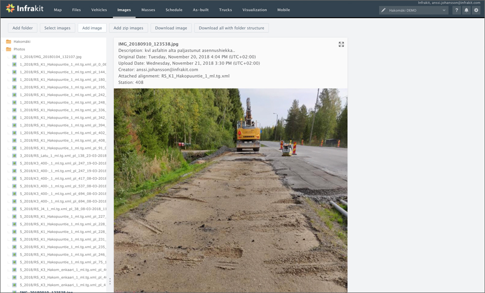
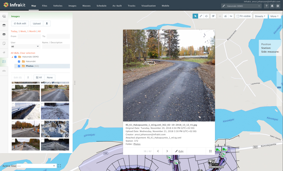
You can view the images with a file explorer that allows you to download all the images for storage elsewhere. You can also view all the images on the map and by clicking on an image you get a preview of the picture and more information about this specific picture. It’s also possible to display it fullscreen or edit the information about that picture. Infrakit also support 360 images if you have the necessary equipment to produce them.
Download Infrakit FIELD™ Lite on Apple App Store »
![]()
Download Infrakit FIELD™ for Android devices on Google Play store »
![]()
Book a Demo
Discover how Infrakit connects your entire infra project operations and drives value to every part of your business.
Recent Comments