New Feature: Measuring distance to breaklines
We’re always listening to our customers and trying to understand their needs in order to create the best possible solution for them. It is because of this that we’re presenting a new feature for our Infrakit FIELD application.
Motivation behind this feature
Measuring distance to breaklines is important because it’s a stepping stone for us in the direction that we ultimately want to achieve and that is: Measuring distance to .dxf model.
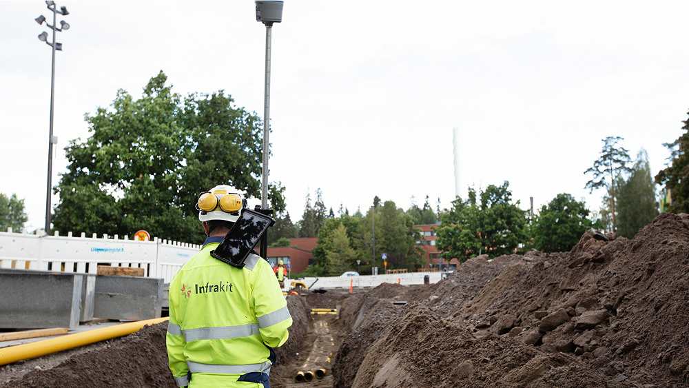
So imagine, a surveyor walking and he always knows the distance between his current location and the model.
How to use it
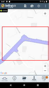
To get a taste of this feature, you just need to go to the app and load a model from your files tab.
Long press the model until this dialog pops up.
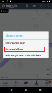
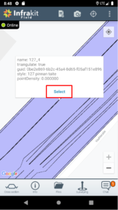
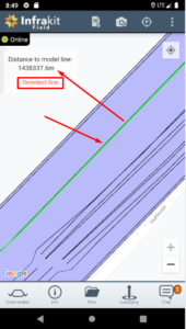
Select “show model lines” option and then click whichever line you want to start measuring your distance to. You will see the line’s information and blue “select” button. Press it!
Now you can see that the selected line has turned green and in your top-right corner you can see your current distance to that line in meters. You can choose to measure distance to that line, select another one or unselect the current line.
Let us know if this feature and our ultimate goal for it is something that you’re interested or if you think we can change something or make it better in some way!