Project on National road 4 between Kirri and Tikkakoski – 8 months ahead of schedule and within budget – Survey Chief reflects on the project’s management
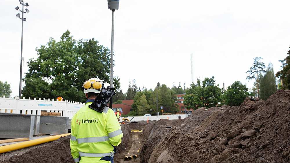
The project on main road 4 was completed eight months ahead of schedule and without increasing the budget. Infrakit was used, for example, in site monitoring and quality assurance across the entire project organization. We interviewed Destia’s Survey Chief Markku Palkama about the use of Infrakit in project management and real-time quality assurance.
Background information about the project
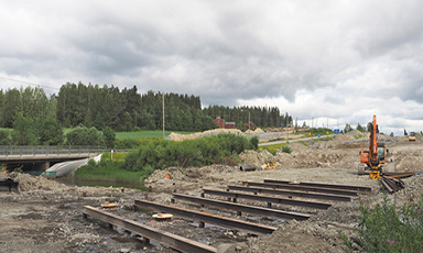
The project, which commenced in 2018, was scheduled to be completed by 2023, and it was commissioned by the Finnish Transport Infrastructure Agency. The project was for improving the condition of main road 4 between Kirri, Jyväskylä, and Vehniä, Laukaa. Between Kirri and River Makkarajoki, the highway runs in a new terrain corridor, and between River Makkarajoki and the Vehniä multilevel interchange, the highway runs in the existing terrain corridor.
Main road 4 is constructed as a 2+2 road with a median barrier. In addition to the highway, a parallel road is constructed for the entire section. (Destia.fi)
Main road 4 is part of the national TEN-T core network. The traffic volume on main road 4 at Kirri is about 20,000 vehicles a day, of which 10% is heavy traffic. Main road 4 is one of the most important routes for heavy traffic in Finland. (Väylä.fi)
Project goals:
• Improving traffic flow and road safety
• Providing better conditions for heavy traffic
• Improving the conditions for business activities in the area
• Creating better routes for walking and cycling
Markku Palkama tells us about the progress of the project from the contractor’s point of view
Infrakit has supported our processes well in terms of model-based quality assurance. It is our main tool, and we use it across the entire the project organization.
Infrakit’s applications and the features used
Infrakit was used as the main tool for transferring the models to the machines, and we also used it for sharing models with the sites, for example. We did encounter some problems with the integration of different machine control systems, but we solved the problems by modifying the format and using two different Infrakit projects.
Of the features, we used the quantity and mass haul tracking as well as the Trucks application for tracking distances in rock material transport to determine the sums to be charged by the contractor in installments.
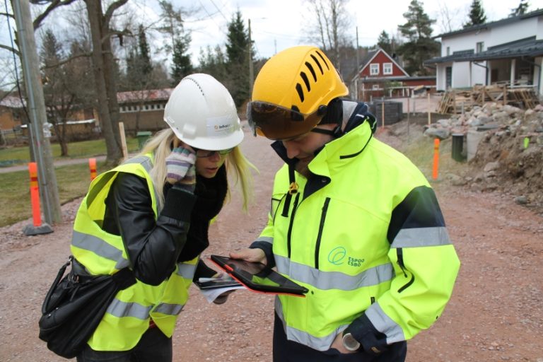
Our supervisors had their own measuring equipment for viewing the models on site as well as for marking and determining certain things. The tool has helped us break some of the traditional boundaries between tasks. Nowadays, there is less of “this task is yours and this task is mine” and more of “we’re all in this big project together” type of thinking, although of course there still are tasks that are the responsibility of certain people, but we’re just not that particular about them anymore. Supervisors have been able to act much more independently, for example in situations usually requiring a surveyor.
Things are easier when using a service that provides everyone with continuous access to the same information. In that respect, working has changed and is markedly different from what was before.
Changes in working
This project did not change our practices in relation to Infrakit, as we have been using it for a long time. In previous projects that I have been part of, Infrakit has mainly been used by the surveying organization, whereas in this project, Infrakit was used across the entire project organization. Now, the supervisors also used Infrakit actively in work planning, for viewing models on site as well as for checking, monitoring and approving as-built measurements.
“In the past, Infrakit has mainly been used by the surveying organization, whereas in this project, Infrakit was used across the entire project organization.”
The quality team of the Finnish Transport Infrastructure Agency has usually taken care of the approval-related matters. However, this being an ECI project, we were, in a way, to present the quality to the client. This involves informing the client of what has been approved and handed over to us and the fact that we are ready to hand the completed part over to them.
Challenges
At first, we had problems with the integration of some machine control systems, as we were unable to transfer the as-built measurements. However, with the aid of Infrakit, we solved the problem by creating another Infrakit project for part of the as-built measurements and transferring them manually to the main project via a coordinate system change.
Greatest benefits
As a surveyor and person in charge of quality, I see the matters related to these as-built measurements and their real-time availability as the greatest benefits. Of course, the use of orthophotos and layers also played a significant part in project planning, work monitoring and quality assurance. We used a significant number of drone orthophotos and turned them into 360 images. They had a major impact on site monitoring and situational awareness.
The recently added new feature enabling the simultaneous use of several map layers, which we did not have much time to use during the project, will benefit us and help us make comparisons in the future. As I mentioned earlier, the fact that now professionals from different teams have access to the same information has significantly improved information flow and benefitted us greatly.
“Infrakit helps create a foundation for trust between the client and the contractor by enabling, for example, the real-time transfer of data from the office to the site – and vice versa – between all parties involved in the project.”
To someone considering acquiring Infrakit, I would say that Infrakit has enabled us to transfer data in real time from the office to the site and back between all parties involved in the project. It has supported our model-based quality assurance, and it is open to all parties involved in the project, which creates a foundation for trust between the client and the contractor. It also enables real-time quantity tracking with easy-to-use mass tables and mass haul tracking via the Trucks application.